
We all know a smartphone is the typical device for messaging, calls, and social media, but it can be more than that. Smart and capable as it is, and if space science is your thing, your smartphone can even help monitor the weather and improve forecasts.
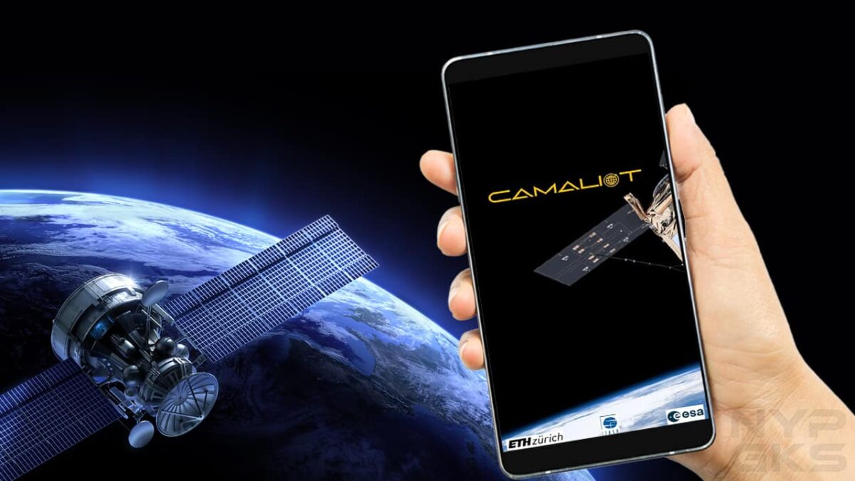
What is the Camaliot app?
A project backed by the European Space Agency (ESA), Camaliot is a collective effort to gather satellite data for research purposes. It uses artificial intelligence, specifically machine learning analysis, to improve meteorology and space weather forecasts.
The Camaliot project is an example of crowdsourcing and volunteer computing as it relies on public participants to share their computing resources, which in the case of this project refer to the measurements logged from the participants’ smartphones.
Right now, you can participate in Camaliot by getting the app. It is available on the Google Play Store for Android smartphones with satellite navigation support that are running Android 7.0 or later versions. The iPhone is not supported at the moment.

How the Camaliot app works
The data collected by the Camaliot project come from global navigation satellite systems (GNSS), which basically refer to any satellite networks that broadcast signals for positioning, navigation, timing. The most common and recognized GNSS is the Global Positioning System (GPS) of the US. Other countries also have their own GNSS implementation, such as China’s BeiDou and Russia’s GLONASS.
Whereas information provided by GNSS satellites help drivers in cars find the quickest route or help pilots navigate their planes, the researchers behind Camaliot use GNSS data to build better weather forecasting models. These data include variations in transmission time among smartphones as they receive messages from GNSS satellites. Also recorded are signal strength, distance between the satellites and phones, and carrier phase cycles.
Related
- How to earn money by reporting security bugs and vulnerabilities to Google
- Is bad weather slowing down your internet connection?
Start collecting satellite data using Camaliot
When you launch Camaliot for the first time, turn on your smartphone’s Location/GPS access, then grant the app with location access permission when prompted so that the app functions correctly during data gathering. You will also need to register and sign in with a free account, the option to which is found at the hamburger menu at the bottom right of the app screen.
You can start satellite data collection by pressing the Start Logging button in the app’s main page. You may also tick the Continuous Mode checkbox so that the app will automatically upload the data for you. You can also choose to log in the background so you can use other apps as Camaliot continues with data collection in the background.

When you’re finished, simply press the Stop Logging button. If you choose to log manually, you’ll be asked to either upload the data immediately or later.
To get the best results, Camaliot recommends that the smartphone be placed at a static location with a clear view of the sky. Movements and obstructions may deteriorate the quality of data collected. Colored icons are displayed on the app to indicate the measurement quality.
Get rewarded for your participation
Being part of a crowdsourcing/volunteer computing effort already gives sense of purpose and satisfaction for many people, but the Camaliot also gives away prizes every month to users who uploaded data.
Users get higher chances of winning as they upload more measurement data. Prizes vary but are typically smartphones, gift vouchers, and swag/merchandise from sponsors.
If you want bragging rights, the Camaliot app also has a leaderboard that displays the top contributors. Each month, the leaderboard is reset to allow everyone a chance to climb to the top.
Hello, always i used to check weblog posts here early in the morning,
for the reason that i enjoy to find out more and more.
No matter if some one searches for his vital thing, so he/she wishes
to be available that in detail, thus that thing is maintained over here.