
Google has recently launched the first satellite of the FireSat constellation, which is designed to detect and track small wildfires from space.
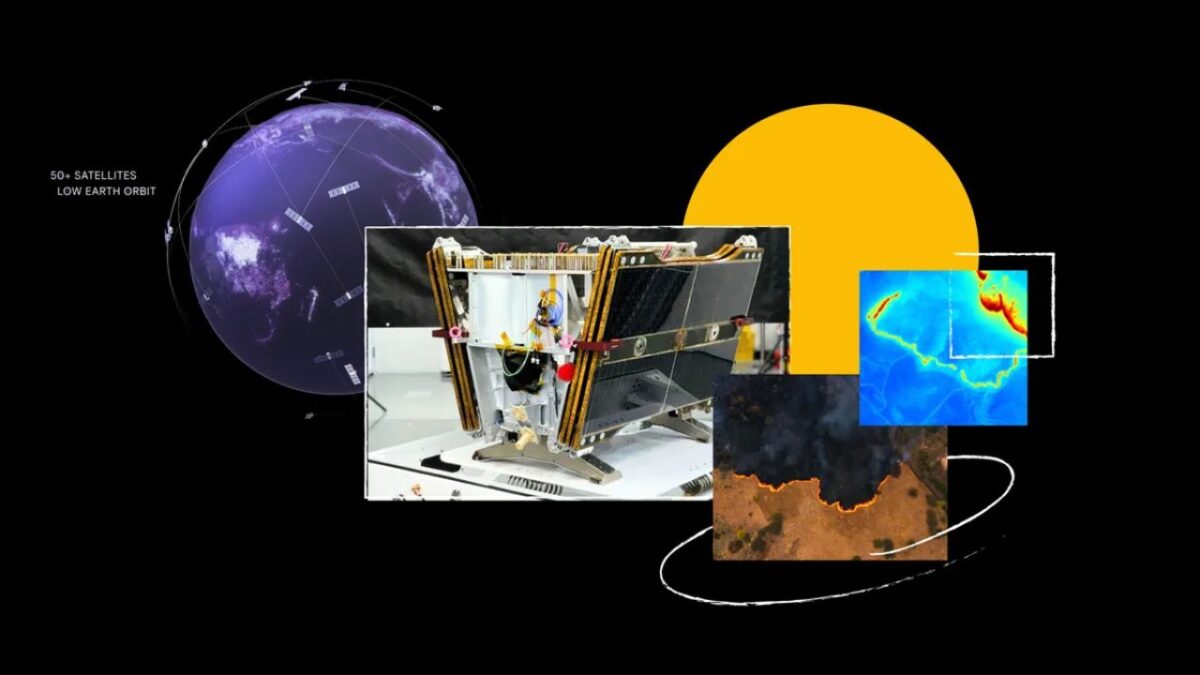
The launch marks the first of more than 50 satellites tasked with detecting wildfires as small as 5×5 meters in the early stages using artificial intelligence (AI). It launched aboard SpaceX’s Transporter-13 mission from Vandenberg Space Force Base in California.
FireSat is a collaboration among Google Research, Muon Space, the Earth Fire Alliance, the Moor Foundation, wildfire authorities, and other partners. The initial USD13 million funding was provided in part by Google.org through the AI Collaborative: Wildfires initiative.
Using AI, FireSat can compare the current image with thousands of prior images of the same spot while also considering local weather, nearby infrastructure, and other factors to reliably determine if a fire is present in the image.
“Differentiating between real fires and random ‘noise’ in the environment was a challenge,” said Chris Van Arsdale, lead of Google Research’s Climate & Energy.
“We had to determine where to draw the line between what is a real fire versus things like sensor issues or misaligned pixels,” Arsdale added.
Once the satellite constellation is fully operational, it can provide global high-resolution imagery updated every 20 minutes, as well as highly detailed insights and novel ground truth, allowing scientists and machine learning experts to study fire propagation.
FireSat aims to enhance wildfire tracking and understanding, ultimately benefiting communities worldwide.
This innovation would hopefully prevent massive wildfires from occurring, such as the recent South California wildfires and the Australian bushfires in 2020.